Precisely Digitising the Real World
‘Simply put, we can capture and deliver the whole World and anything in it’
Real World to Digital
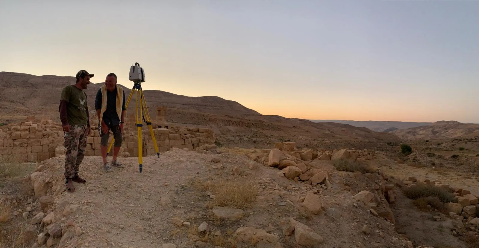
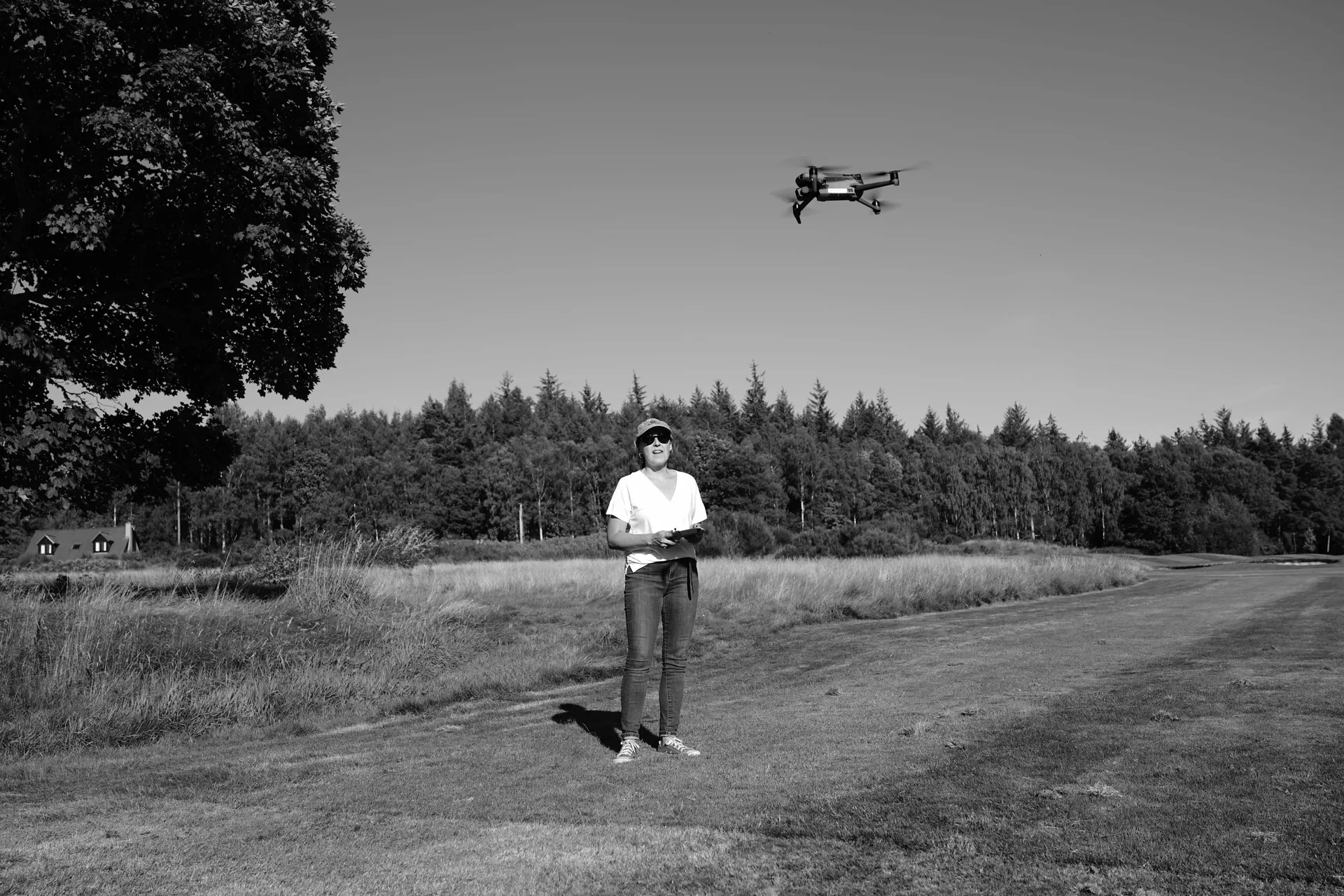
What we do is basically very simple, even if the journey to get there often isn't. We capture anything that exists in the Real World and create a digital version that meets the accuracy, precision, and fidelity our clients demand. Kittiwake Digital takes great pride in making the whole process of capturing, processing and delivering digital assets as simple as possible. Over the years we have become specialists in aerial and terrestrial spatial data.
Trusted Expertise
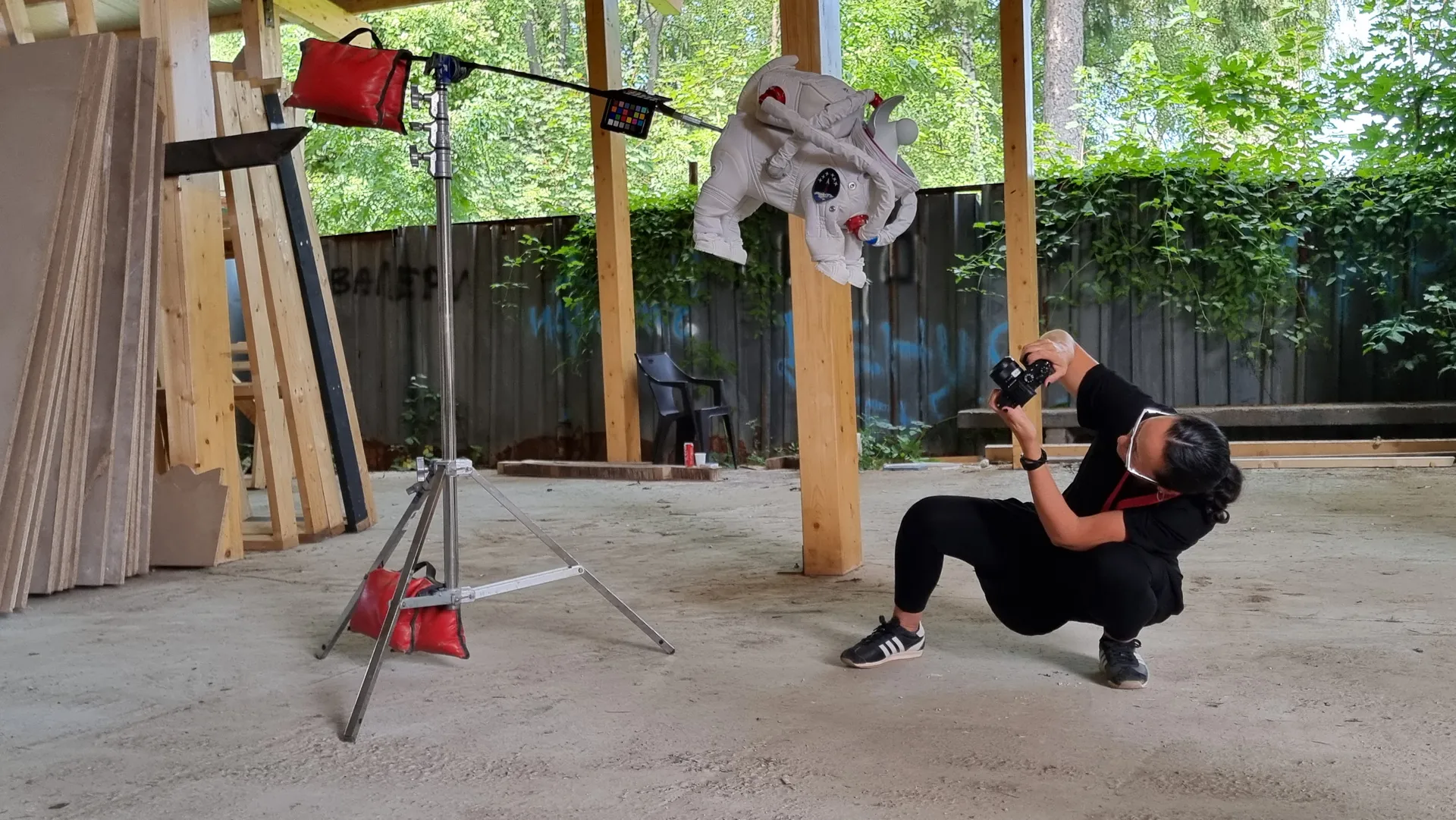
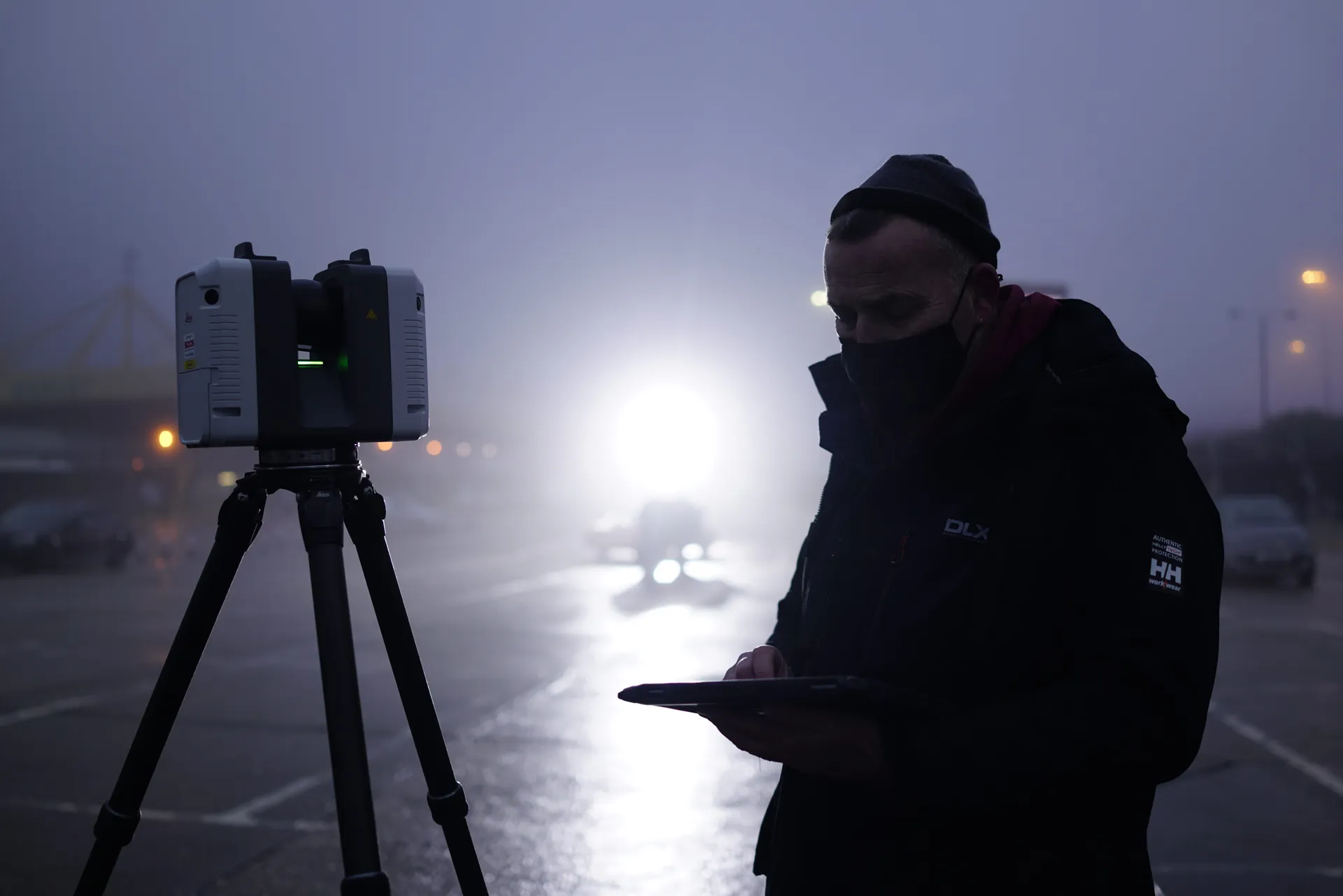
Our wide ranging experience with numerous capture technologies means we are trusted to recommend the most suitable scanning and processing solutions. As every project is different we take the time to understand each brief in detail, so that we are precisely aligned with our clients' goals. We endeavour to use the most up-to-date technology, staying at the forefront of innovation and integrating the latest tools into our workflow, while remaining mindful of time and cost efficiency.
From Landscapes to Fine Detail
We revel in large scale landscape digitisation; merging drone-based aerial scanning and terrestrial laser scanning & photogrammetry to create virtual environments. At the other end of the scale we are obsessive about scanning high-fidelity humans, animals and large & small objects, utilising a combination of close range scanning technology and digital imaging to capture incredible detail. Our deliverables range from simple 2D CAD drawings to complex BIM models; from animation ready digi-doubles to immersive Virtual Production environments perfect for LED walls; from accurate Rights-to-Light assessment models to 4D construction models.
Simply put, we can capture and deliver the whole World and anything in it.
Let’s talk about your project
Whether you have a fully-defined brief or you’re exploring options, we’re happy to discuss your needs. Every project starts with understanding what you’re trying to achieve.
Get in touch