How We Do It
Experience-led methodology, precision technology, tailored deliverables
Considered Methodology
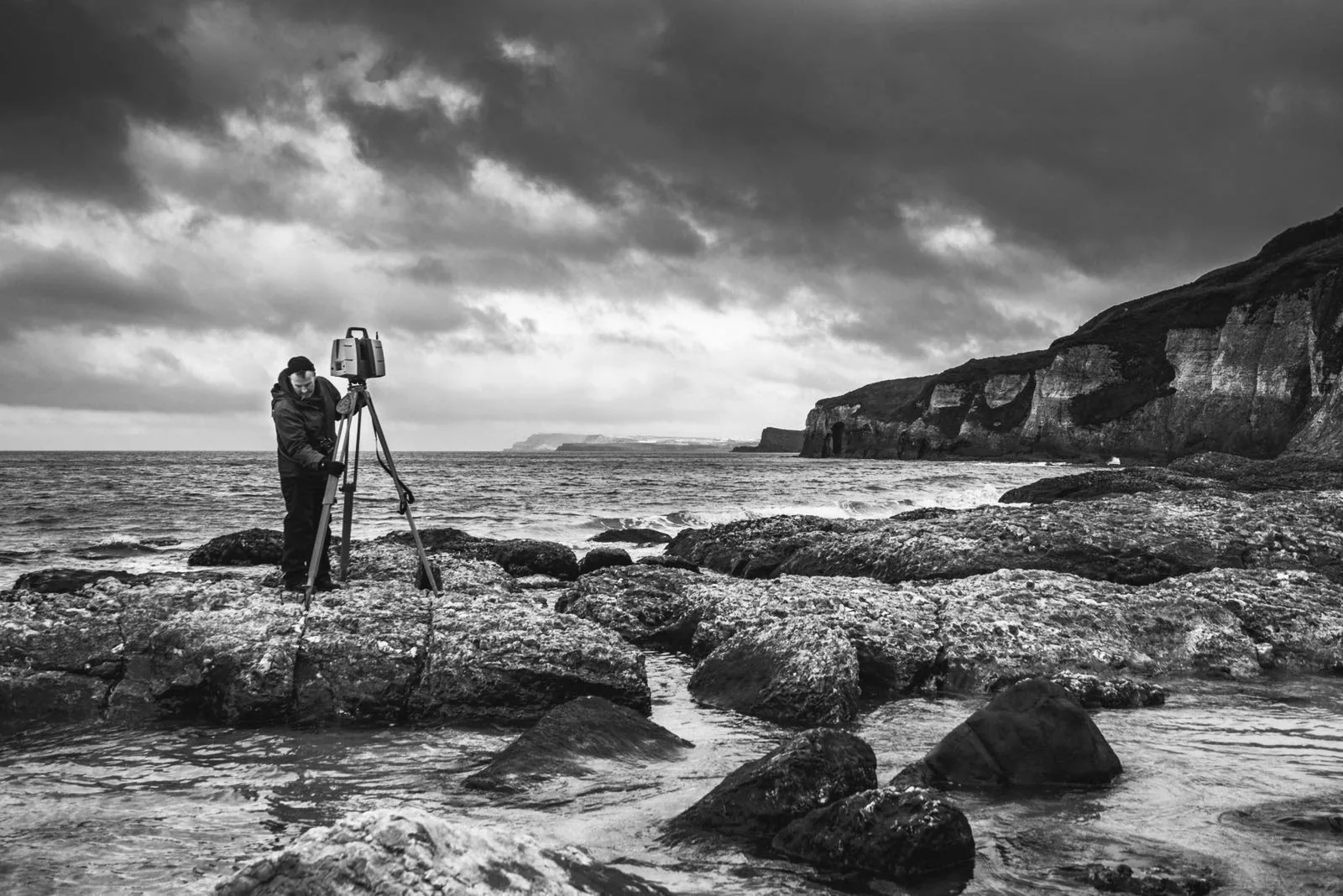
So, how do we do the things we do? It isn’t about any single piece of hardware or software, nor about choosing one technology manufacturer over another. There are often multiple solutions to the measurement challenges our clients present to us. What you will receive from us is a carefully considered methodology, shaped by years of experience, and tailored to your project’s resolution requirements, budget, and timescale.
At Kittiwake Digital, we combine aerial and terrestrial technologies to capture the real world with exceptional precision. At the heart of our work are advanced laser scanners, handheld close-range scanners, and high-resolution digital photography; each selected and deployed to suit the specific demands of a project.
Laser Scanning
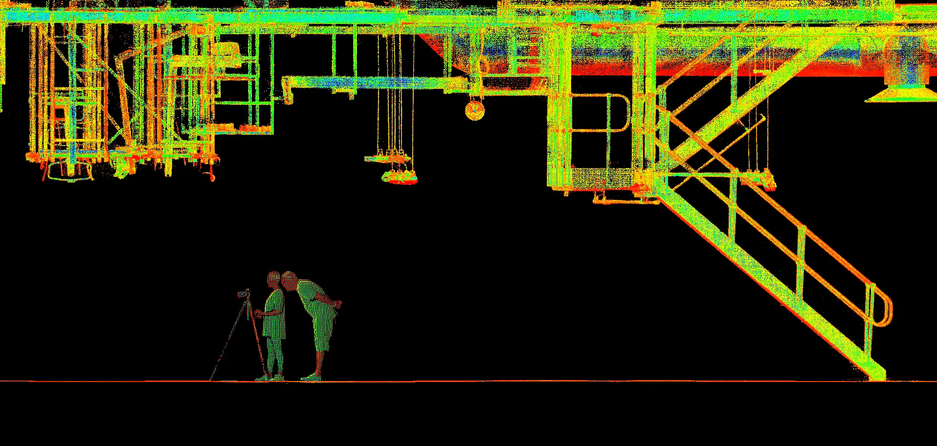
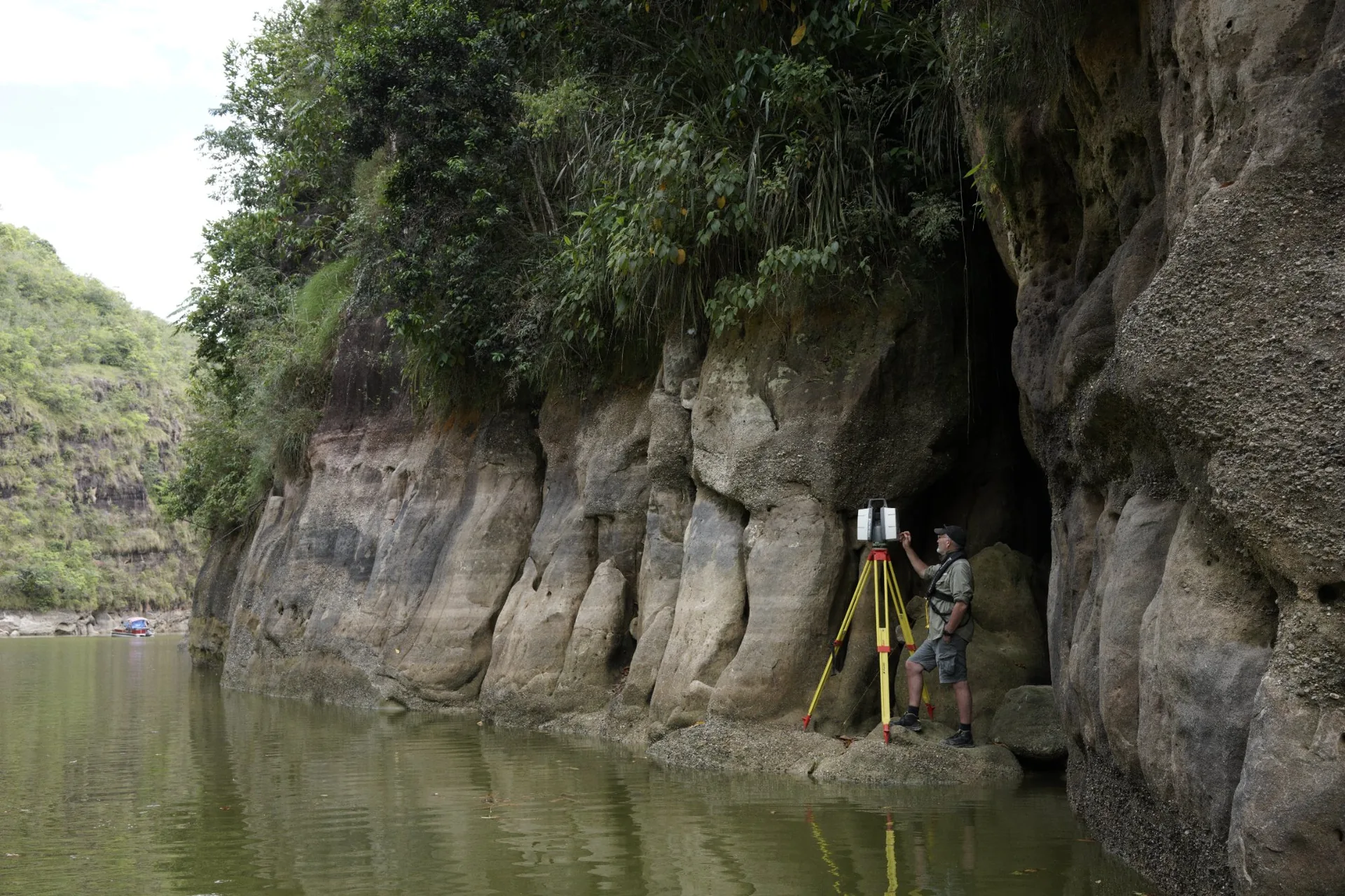
Laser scanning, often referred to as LiDAR, enables us to capture millions of precisely measured three-dimensional points in minutes. Whether deployed from the ground or mounted to a drone, LiDAR accurately records an environment’s geometry at scale. Terrestrial systems excel at capturing intricate architectural detail, while aerial LiDAR allows us to survey vast landscapes quickly and efficiently.
Digital Photography & Photogrammetry
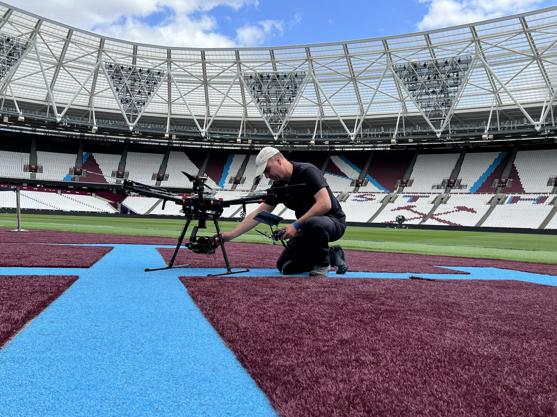
Digital photography remains central to our workflow. We capture textures, reference imagery, and overlapping photographs for photogrammetry; a technique that transforms 2D images into detailed 3D models. From individual objects and people to entire environments, photogrammetry provides flexible, scalable solutions. When deployed via our drones, it offers valuable overhead perspectives that would otherwise be impossible to achieve.
High Resolution Metrology
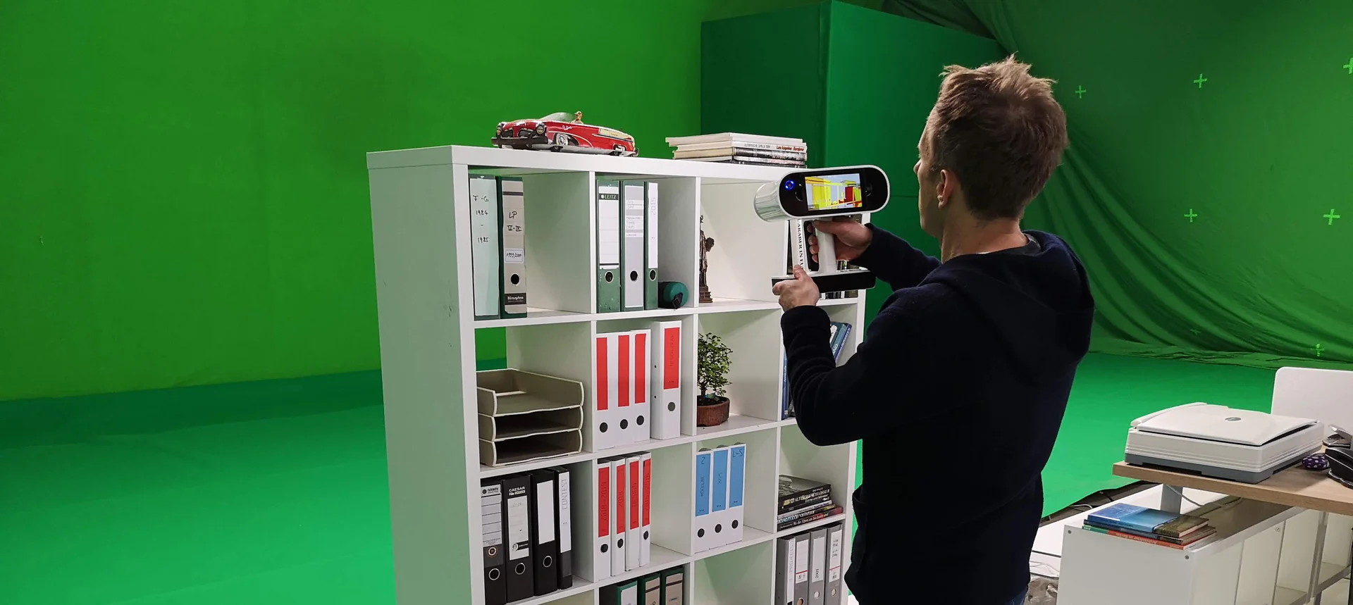
For smaller objects and complex forms, our handheld structured-light scanners deliver remarkable levels of detail. These systems are ideal for capturing props, vehicles, and specialist components. Combined with advanced processing software, we seamlessly integrate geometry and photogrammetric imagery to create highly accurate, production-ready digital assets.
Processing & Deliverables
Behind every project lies rigorous data processing. We integrate and refine datasets across multiple specialist software platforms to deliver outputs tailored precisely to our clients’ needs. Whether that means 2D CAD drawings, fully textured 3D models, or immersive Gaussian Splats, we ensure the final deliverables are accurate, adaptable, and ready for use.
Under Salt Marsh - From Brief to Deliverable
How we digitally captured an entire Welsh village and a purpose-built studio set for Milk VFX on Sky Atlantic’s crime thriller Under Salt Marsh.
Transforming Fairbourne
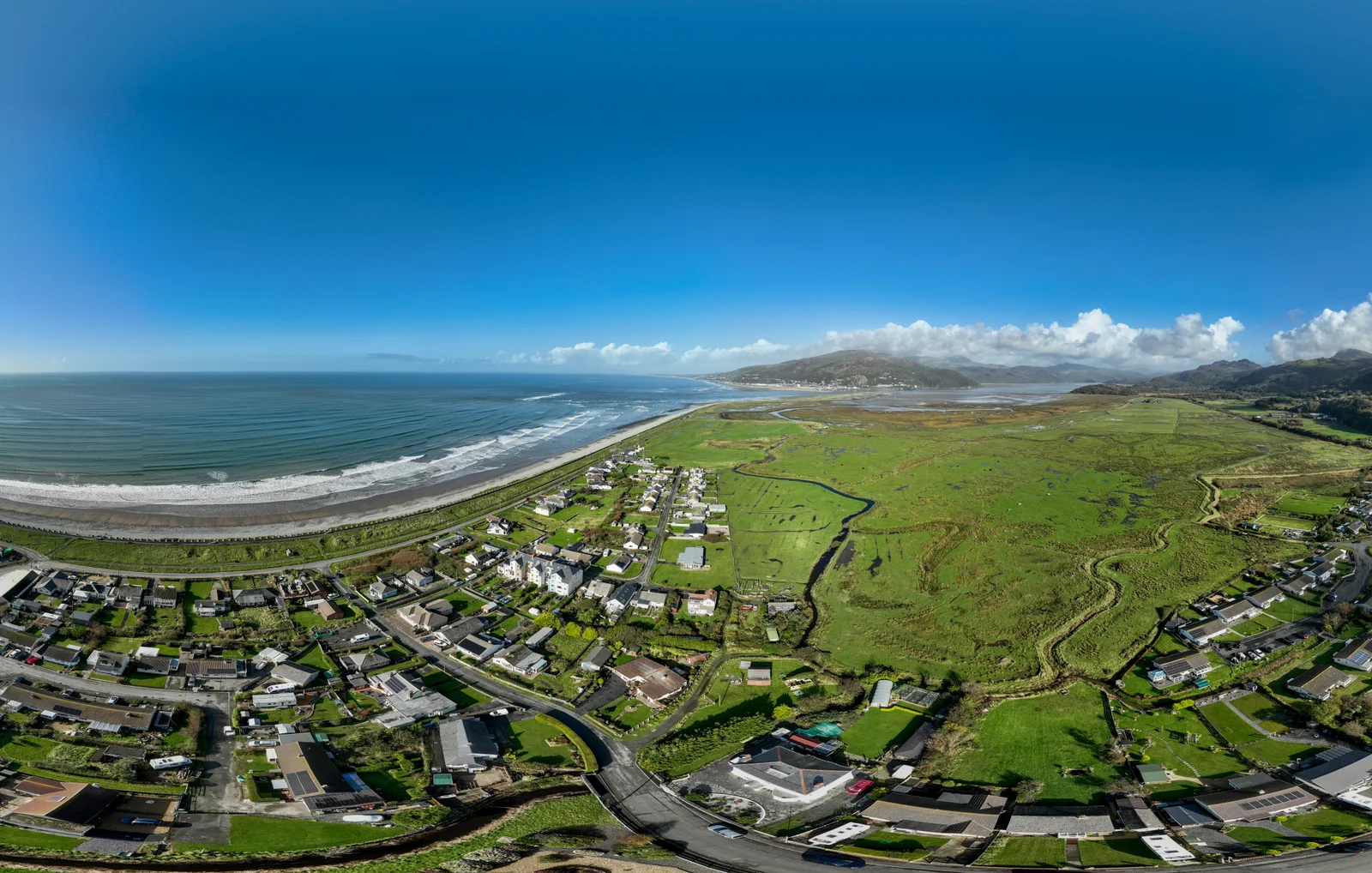
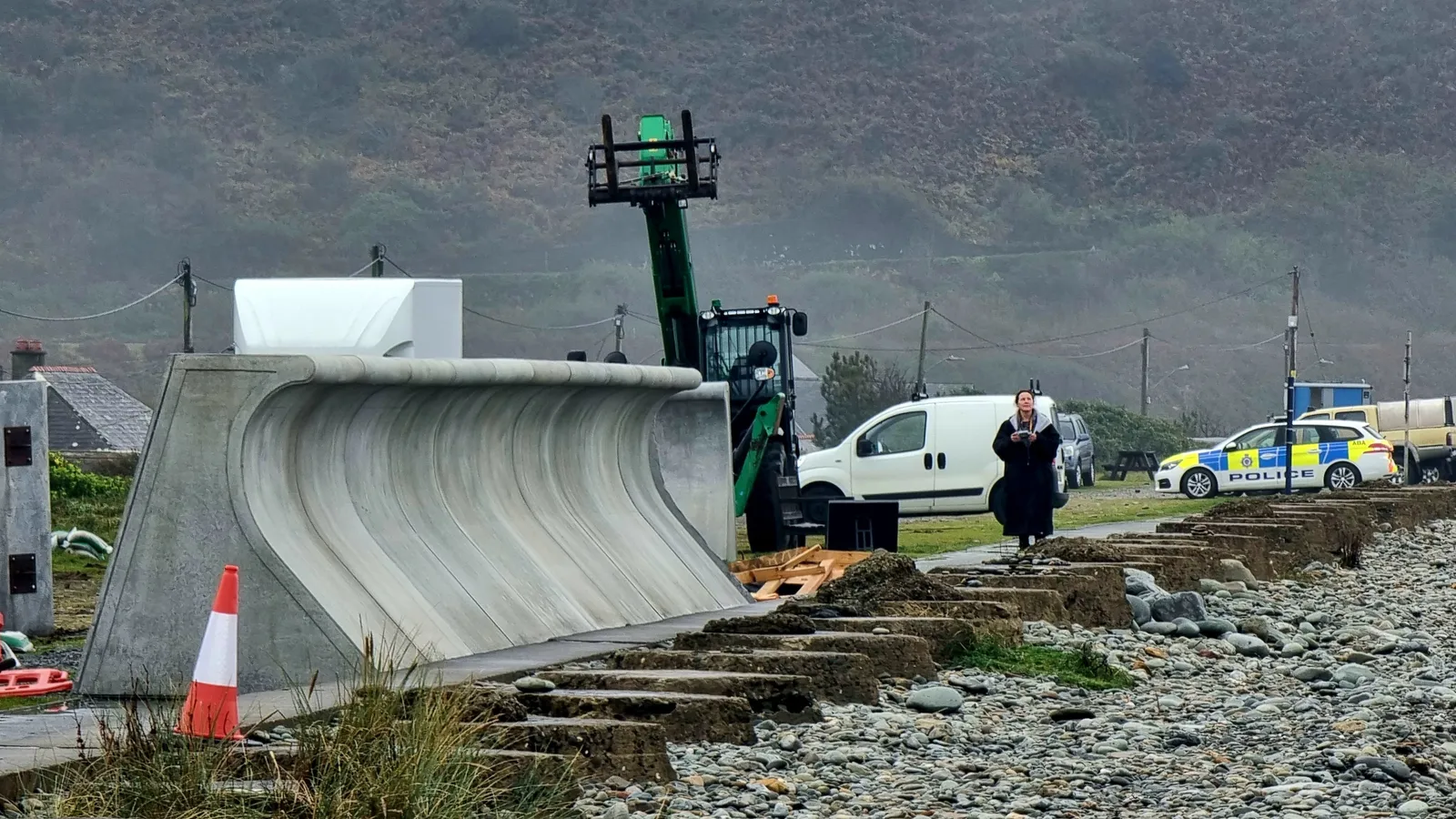
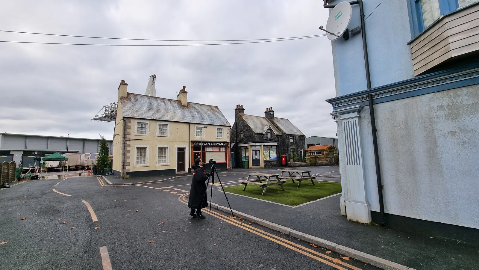
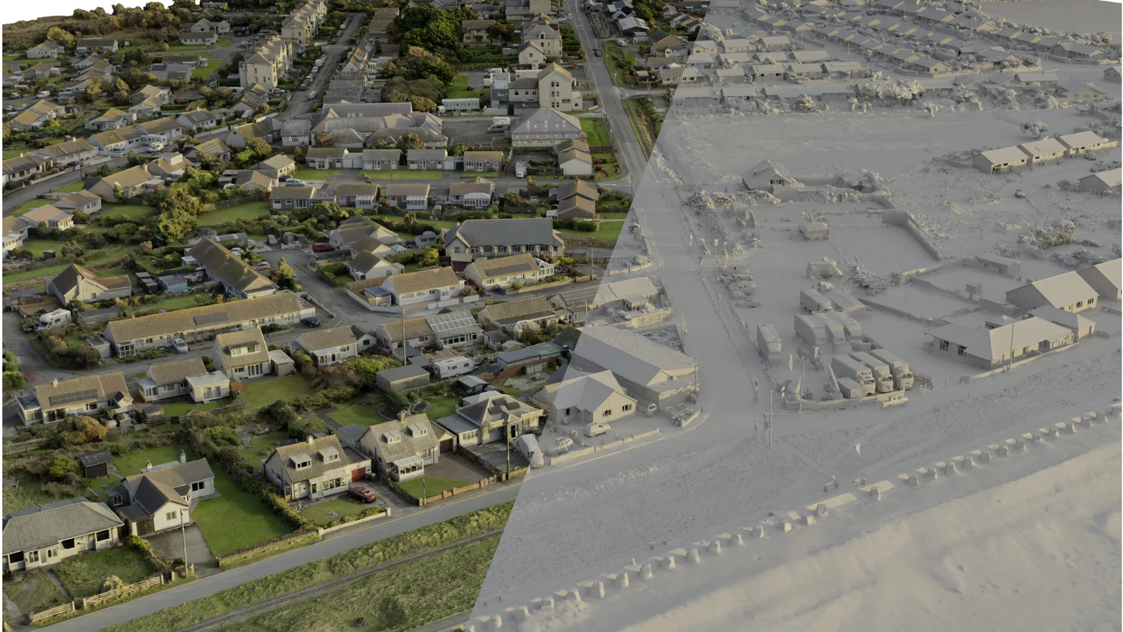
Mark Harris and the crew at Milk VFX needed to transform the real village of Fairbourne into the storm-battered, catastrophically flooded fictional village of Morfa Halen. This required us to digitally capture and model Fairbourne in its entirety, while in parallel digitising a purpose-built set at Dragon Studios in Cardiff - designed to be flooded in-camera by the SFX team.
Hardware & Software
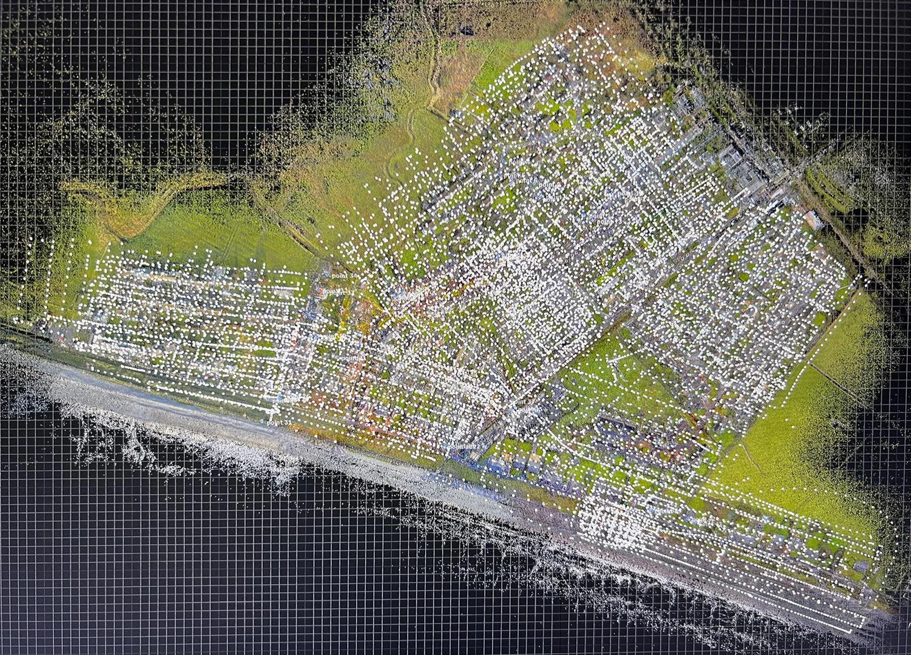
Our integrated toolbox spans a fleet of UAVs with varied payloads, state-of-the-art terrestrial laser scanners, and Sony α7 series cameras. Spatial data is registered in Trimble Realworks and Leica REGISTER360, images processed in Adobe Lightroom, and everything brought together in Epic Games RealityScan - aligning TLS data, ground photography, and drone images in a single step.
Fairbourne - 308 Scans, 15,042 Images
A tripod-mounted Trimble X9 collected 308 separate 360° RGB scans across the village, while 1,342 terrestrial and 13,700 aerial images were captured, the latter from a range of drones. A ‘first pass’ model from aerial imagery alone allowed rapid coverage checks before the full 3D model was calculated from 15,350 carefully selected inputs.
Dragon Studios - 127 Scans, 2,690 Images
At Dragon Studios our Leica RTC360 collected 127 textured scans, complemented by over 890 tripod-mounted photographs and 1,800 aerial images from a DJI Mavic 3 Classic. The fully textured 3D model was calculated from 3,350 inputs and delivered as OBJ files with UDIMs and multiple textures.
Precision at Speed
This well-integrated and time-efficient hybrid approach is what sets Kittiwake Digital apart. Consistently delivering precise, photorealistic, high-fidelity visuals at speed, across multiple platforms, continues to earn the trust and recognition of our clients.
View full projectFAQs
Our offices are located a few minutes drive from Stansted Airport, between London and Cambridge, with easy access to both national and international travel networks.
We are able to operate virtually anywhere in the world, supported by a trusted network of licensed pilots and scanning specialists of diverse nationalities across the UK, Europe, and internationally.
We do not operate a single, fixed pricing structure across all projects. Instead, we adopt a flexible and adaptable approach, offering day rates, weekly rates, or fully inclusive packages tailored to suit each client’s scope and budget.
We are able to accommodate virtually any project timetable through our well-established network of aerial and terrestrial scanning specialists. When necessary, we have mobilised within hours, including attending crime scenes at very short notice. Nevertheless, the most successful projects benefit from a sensible lead-in period, enabling thorough planning and ensuring the most time- and cost-effective outcome. It should also be noted that most drone operations are subject to specific legislative and regulatory requirements that require additional time to organise and secure the necessary permissions.
By taking the time to fully understand our clients’ requirements, we are able to draw upon many years of experience to develop truly bespoke solutions. Our hybrid methodologies, combining complementary light- and image-based technologies, deliver the geometric accuracy and precision of laser scanning alongside the visual richness and detail of high-resolution photography.
The majority of our projects are completed within hours or days, rather than weeks or months. We endeavour to carry out data capture as efficiently as possible for several reasons: principally to minimise disruption to our clients and the public, and to ensure consistency in weather and lighting conditions throughout the survey. With this in mind, for larger commissions we often deploy multiple teams concurrently, thereby reducing the overall data capture window and maintaining environmental consistency across the dataset.
As the majority of clients require us to come to them, our technology has been designed and adapted to allow data capture anywhere in the World. Indeed, our reputation is founded upon the principle: Precise. Professional. Portable.
Given the right amount of time and preparation, not really. Certain materials and surfaces are more problematic, such as transparent objects, reflective and very dark surfaces and moving or flexible objects. However, there are methodologies we can adopt that significantly enhance the quality of the data captured.
We base our processing and delivery timetable on our clients requirements. Shorter delivery schedules will require more of our specialists to work concurrently. Ultimately, successful delivery depends upon clear and timely communication between ourselves and our clients from the outset.
With our clients embracing VR & AR, AI and the next generation of radiance fields (3DGS), much of our time is spent researching and implementing developments in sensors and software to keep us at the cutting edge of digital technology. We can therefore deliver in most recognised 2D, 3D & 4D file formats, dependent upon the needs of any particular project.
Unless specifically required to destroy or remove data upon a project’s completion (it does happen), we always keep multiple copies of both the raw and delivered data on our secure network.
Ownership of raw and processed data is primarily determined by the contract between Kittiwake Digital and our client. Unless covered by a prior agreement, we retain the IP of captured data, but the client who commissioned the work holds the right to use it for the intended purpose.
Let’s talk about your project
Whether you have a fully-defined brief or you’re exploring options, we’re happy to discuss your needs. Every project starts with understanding what you’re trying to achieve.
Get in touch