
Dover Western Docks
Laser scanning and digital photography for Archaeology South-East at the Dover Western Docks Revival
By definition, archaeology is the scientific study of the past through the analysis of cultural remains. It is based on the recovery, documentation, and interpretation of physical evidence such as artefacts, architecture, and environmental samples to understand how people lived and evolved throughout history. However, a more figurative description of archaeology is the process of assembling a multi-million-piece 3D jigsaw puzzle with 90% of the pieces missing and no helpful picture on the lid of the box.
Archaeologists generally possess a well-developed understanding of coordinate systems and digital data; much of their work involves the careful recording of remains within a three-dimensional framework, essentially creating precise 3D maps of excavated structures and artefacts. As early adopters of scientific and technological advances, archaeologists have long been at the forefront of using laser scanners and digital cameras in the course of their work. Most archaeological work is developer-funded and regarded as a necessary part of the construction industry. Therefore, it is in all stakeholders’ interest that time spent on a development site is kept to the minimum, so anything that facilitates the expeditious, but complete, documentation of excavated remains is indispensable.
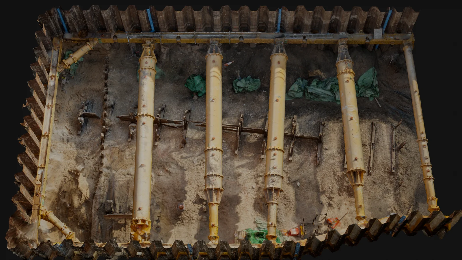
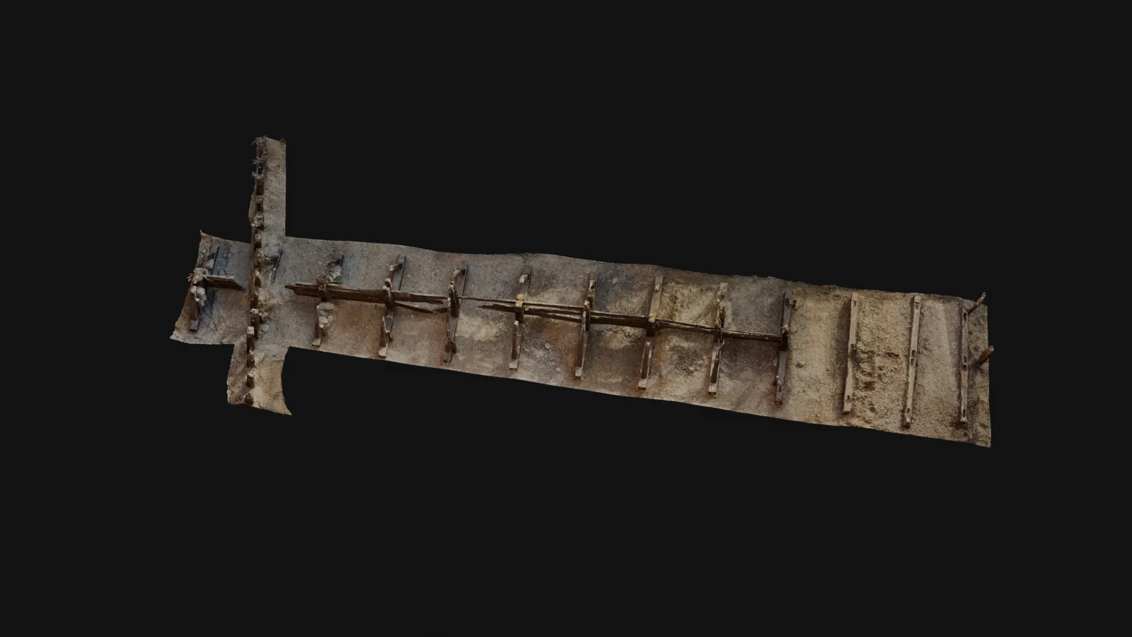
Dover Western Docks Revival
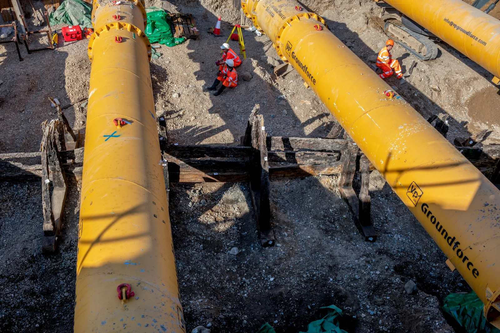
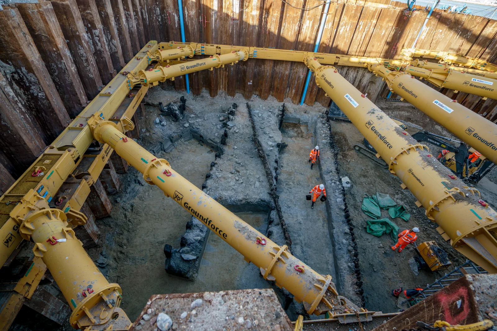
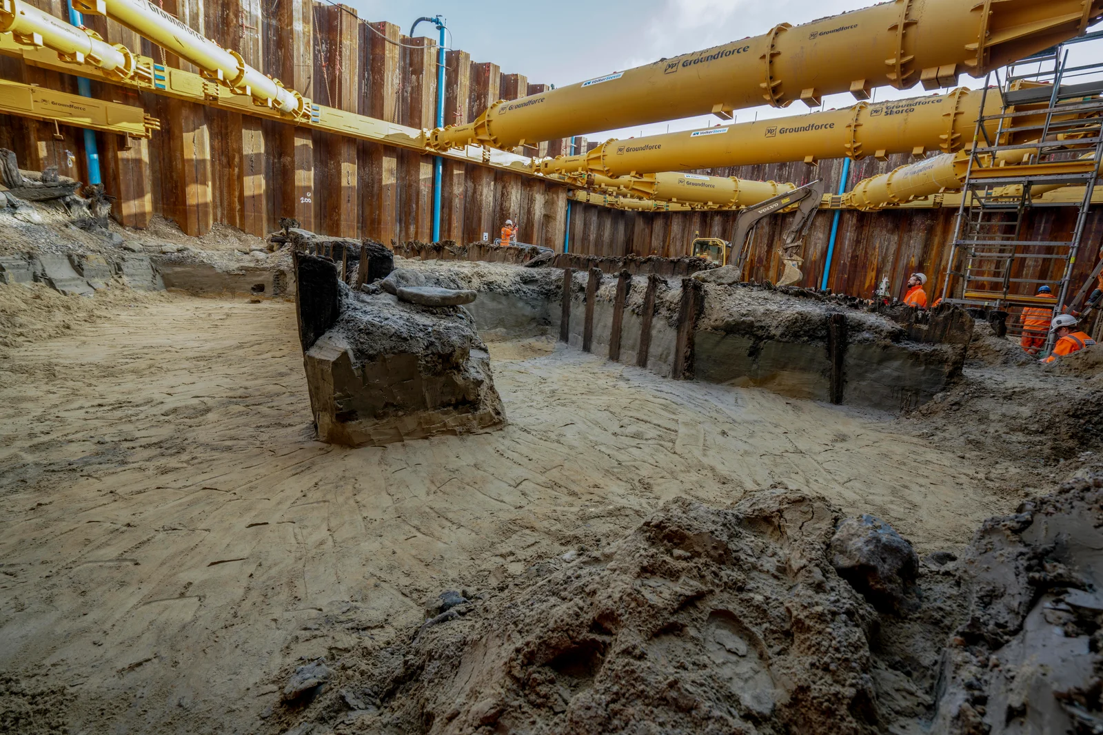
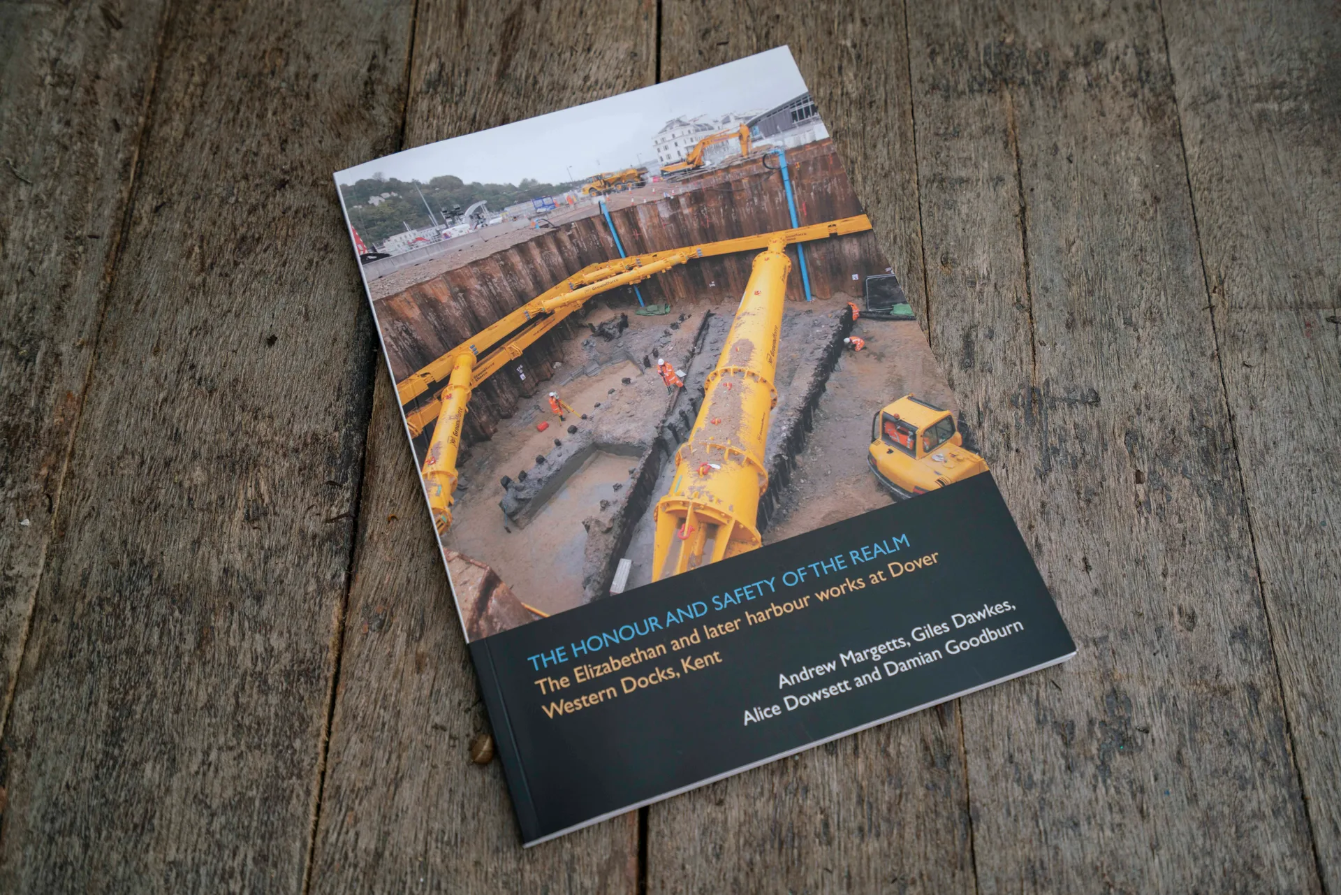
When Archaeology South-East (ASE) were commissioned to undertake major archaeological and geoarchaeological investigations at Dover Western Docks as part of the Dover Western Dock Revival Scheme, it became clear that the extensive waterlogged remains would need to be documented under extreme engineering conditions. The excavations uncovered substantial remains linked to the historic development of Dover’s harbour, a strategically important port despite longstanding natural challenges such as silting and coastal drift.
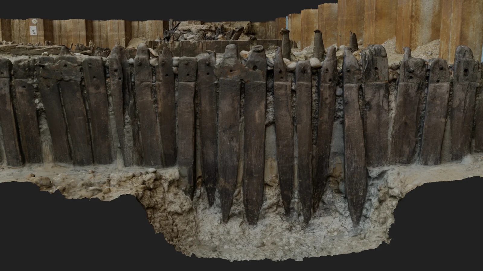
Among the discoveries were significant sections of the Elizabethan harbour works commissioned by Elizabeth I and commonly attributed to the engineer Sir Thomas Digges. This Tudor harbour wall, known as ‘Digges Wall’, is regarded as a landmark in the history of English civil engineering and a powerful symbol of Elizabethan ambition and innovation.
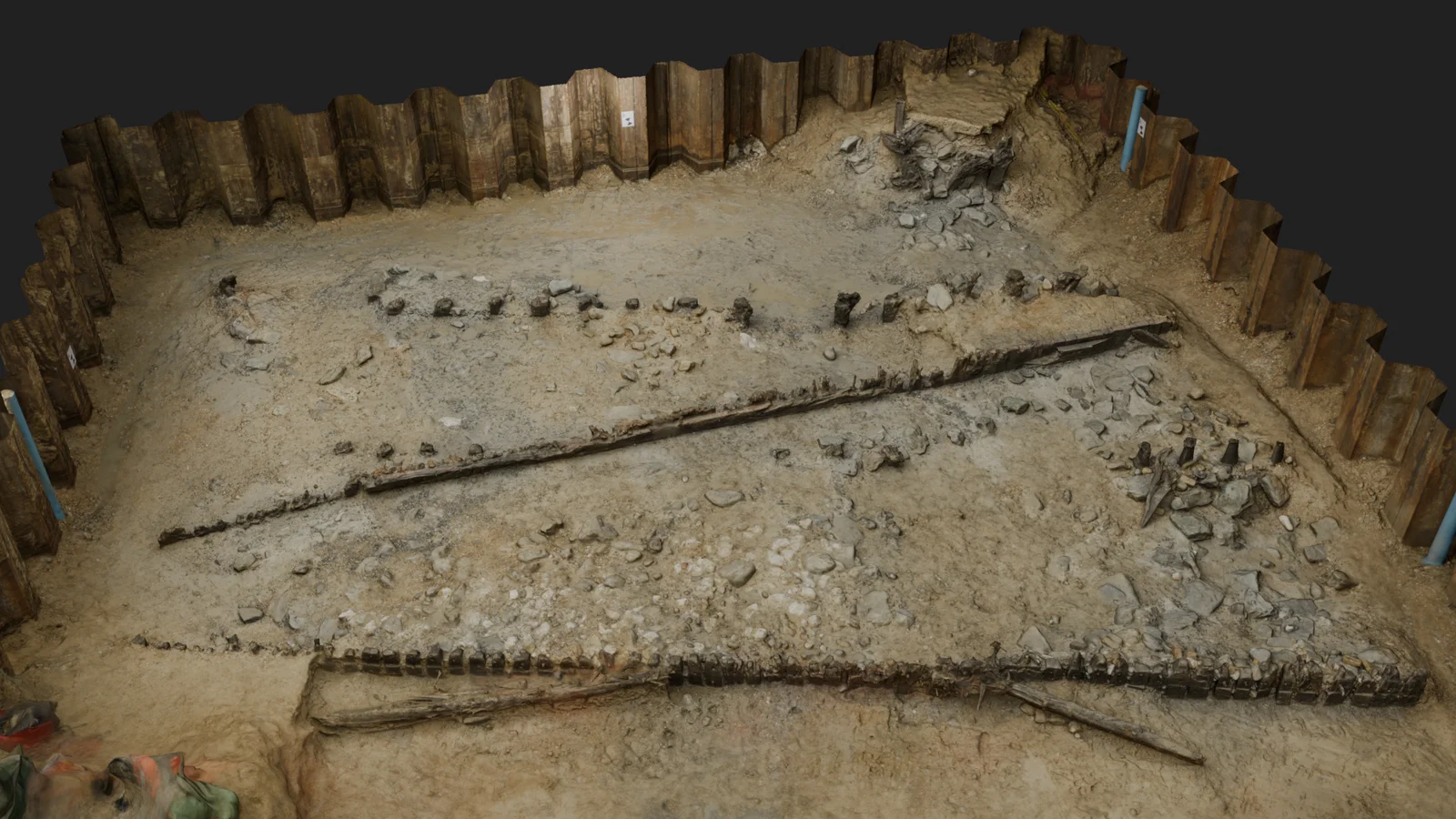
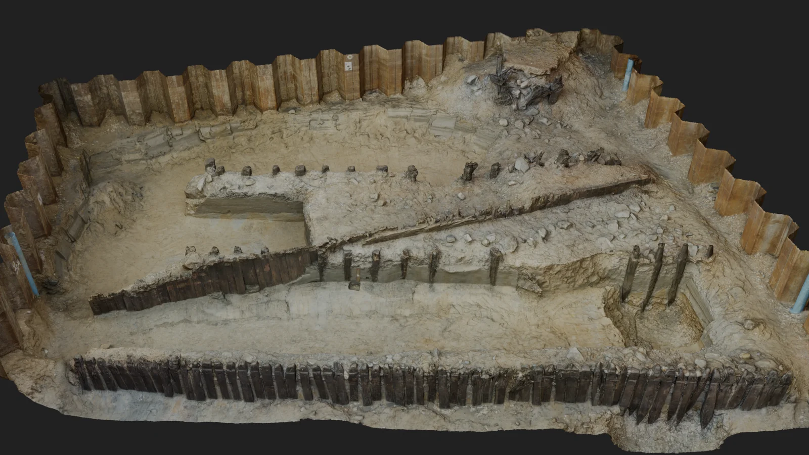
Layered history
Other remains revealed the continued evolution of the waterfront, including 17th-century piling works by military engineer Bernard de Gomme, an 18th-century timber groyne, 19th- and 20th-century promenade and dockyard features, and World War II structures.
As geomatics consultants to ASE, we were tasked with using laser scanners and digital cameras to record the timber structures in situ before they were dismantled and removed from site.
Let’s talk about your project
Whether you have a fully-defined brief or you’re exploring options, we’re happy to discuss your needs. Every project starts with understanding what you’re trying to achieve.
Get in touch