
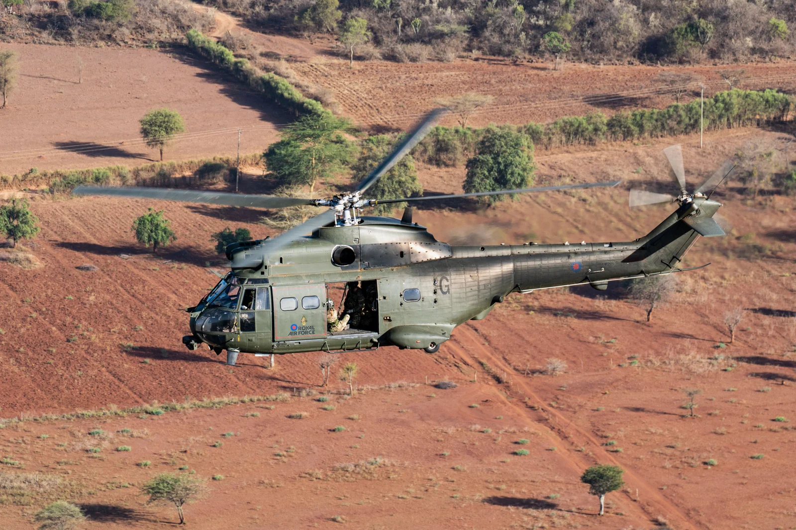
Puma Helicopter
Terrestrial LiDAR & photogrammetry for aerospace engineering
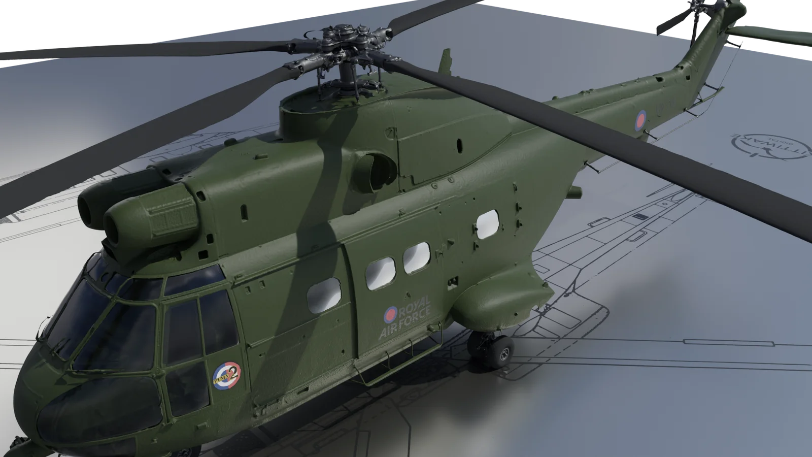
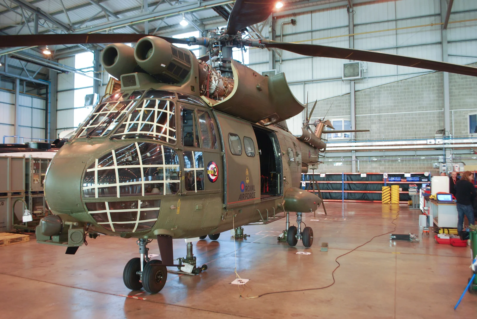
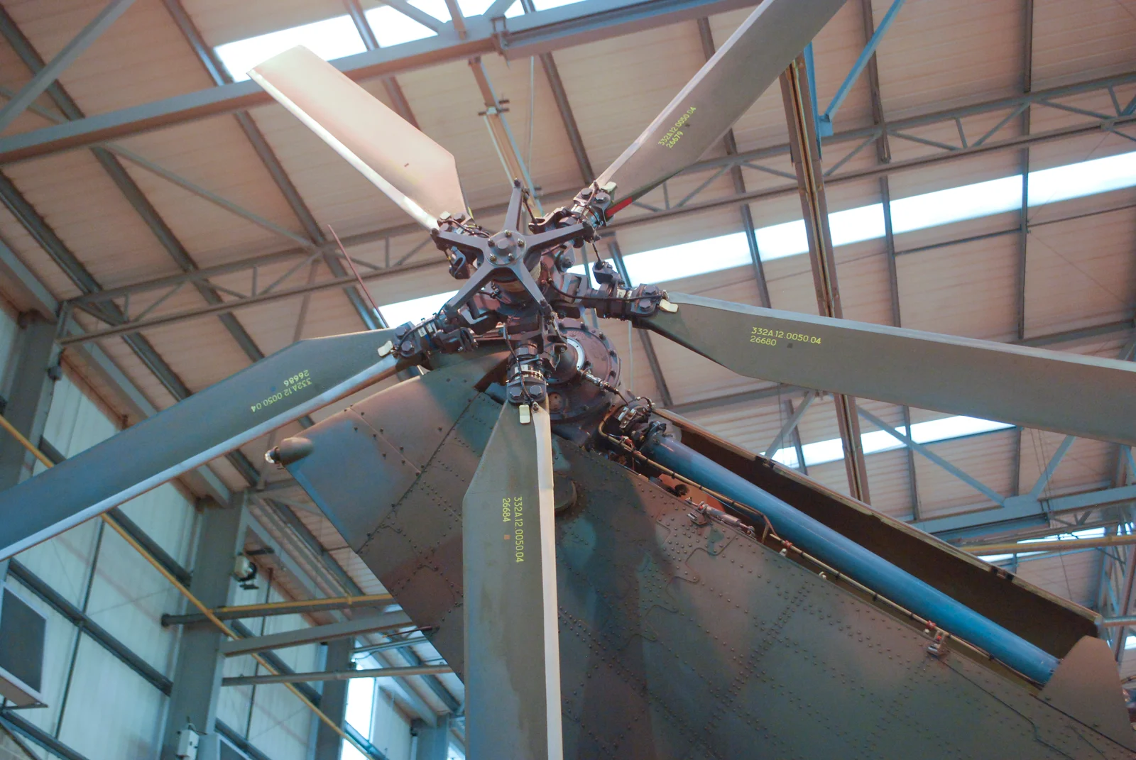
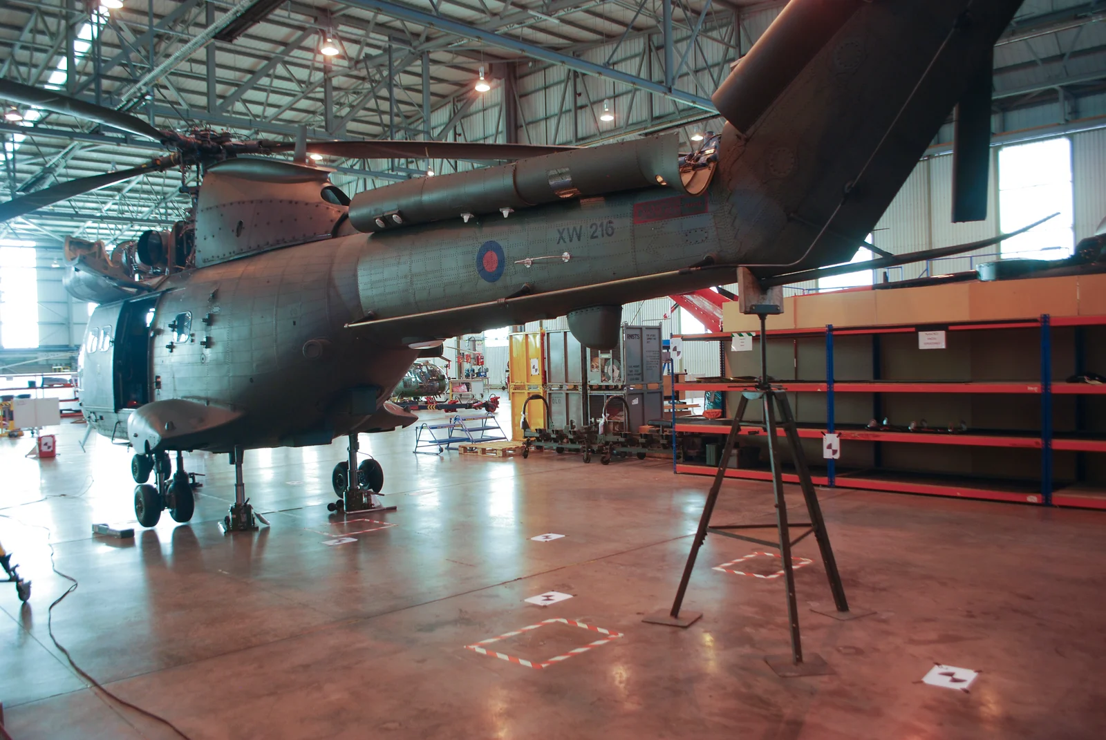
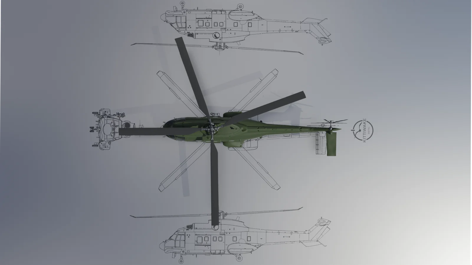
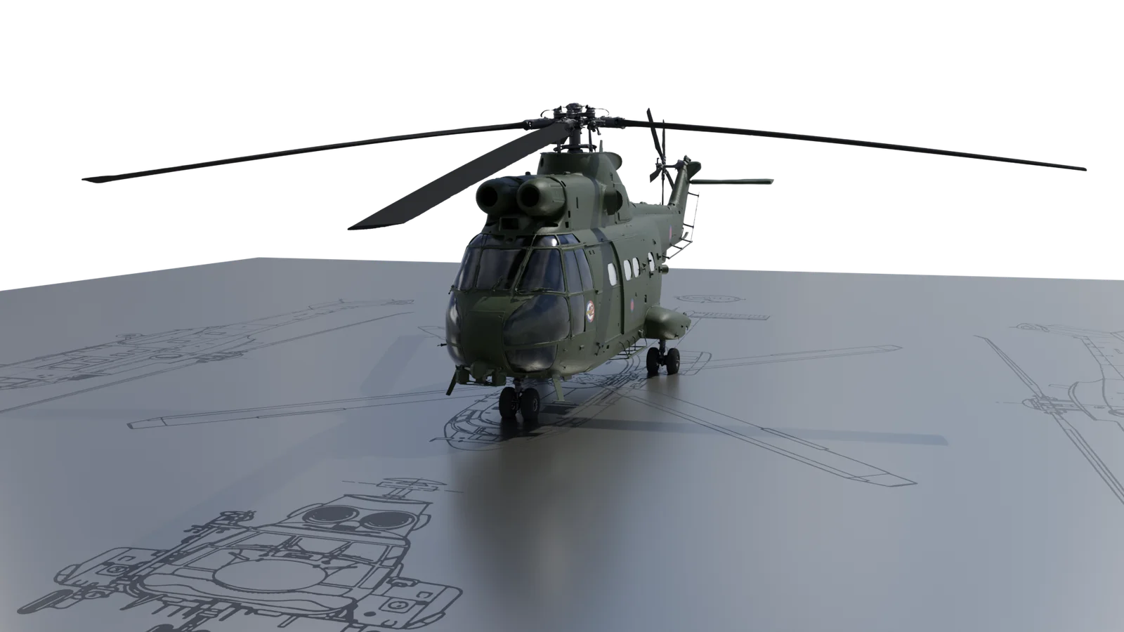
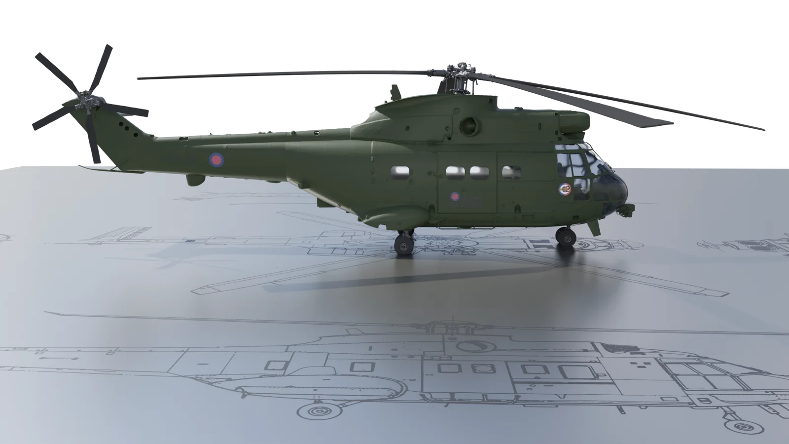
Terrestrial LiDAR has long enabled the capture of highly detailed 3D data in complex engineering environments. To demonstrate the ongoing value of legacy datasets, original LiDAR scans of a Puma helicopter, captured in 2012 using a then state-of-the-art Leica HDS6000 scanner, were recently reprocessed.
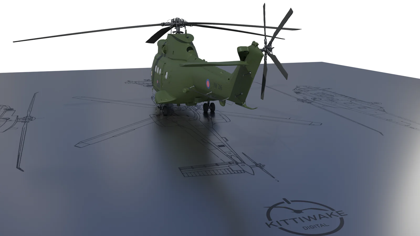
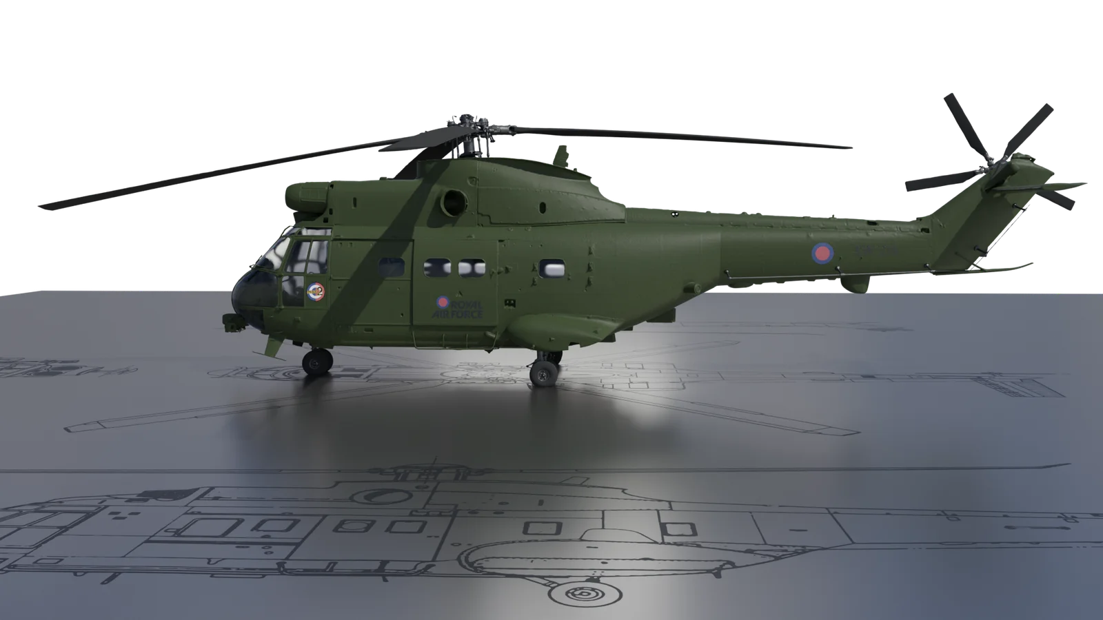
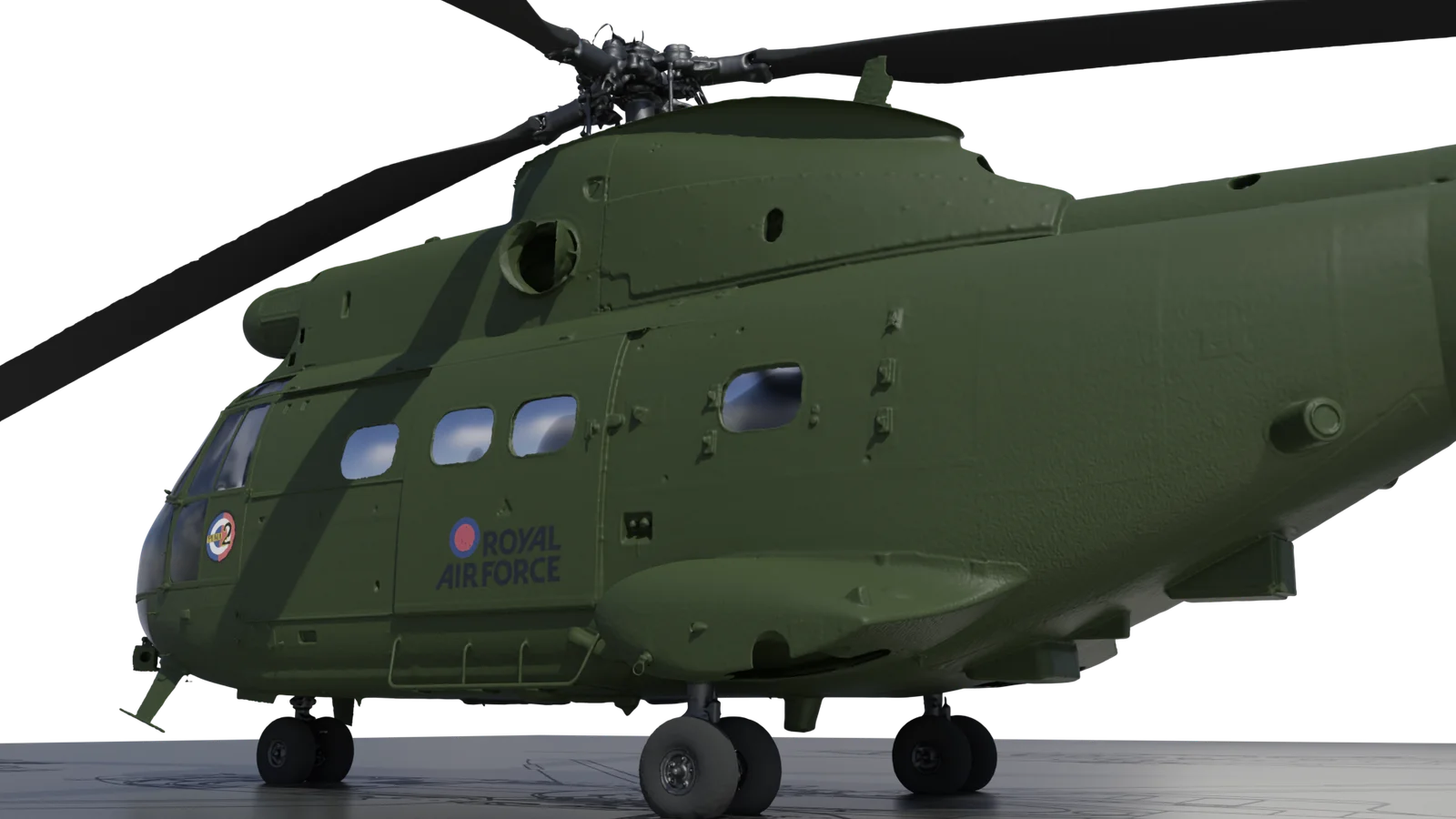
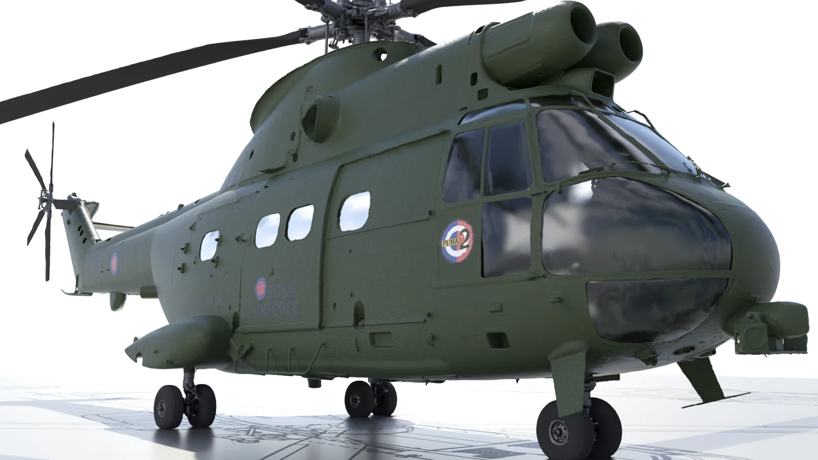
The scans, originally produced to support the design of bespoke maintenance equipment, captured the full geometry of the aircraft within a controlled hangar environment using multiple scan positions and supporting photography. The registered LiDAR data and photogrammetric imagery were combined to create a highly accurate 3D model without any physical contact with the aircraft.
The resulting dataset remains suitable for engineering analysis, visualisation, simulation, training and aerodynamic studies, demonstrating that terrestrial LiDAR data — both past and present — continues to be a valuable tool in aerospace applications.
Let’s talk about your project
Whether you have a fully-defined brief or you’re exploring options, we’re happy to discuss your needs. Every project starts with understanding what you’re trying to achieve.
Get in touch